
FOR IMMEDIATE RELEASE: February 17, 2016
MEDIA CONTACTS: Carole Trottere, Rebecca Cheng, Sam Marksheid, and Vicki DiStefano | (516) 869-7794
Town of North Hempstead Partners with Local Village to Seek Funding for GIS Mapping Project
Goal is to create more efficient government; save taxpayer dollars
North Hempstead, NY – North Hempstead Town Supervisor Judi Bosworth, the Town Board, and Port Washington North Village Mayor Bob Weitzner announced that they are working together to undertake a joint Geographic Informational System (GIS) mapping project that is estimated to save nearly $2 million in taxpayer dollars over five years.
The project, which will require a $270,000 grant from the New York Department of State, is aimed at digitizing all Town and Village owned surface assets including street signs on 350 miles of Town roadways, as well as sidewalks, hydrants and street lighting. The project would create a central database of these surface assets allowing the Town and Village governments to work together to create cost-effective plans for managing them. The goal of the project is to improve inter-municipal government efficiency, boost citizen engagement, and save taxpayer dollars, to the tune of an estimated $1.7 million over 5 years.
“Inter-municipal coordination is a high priority in North Hempstead as it improves the way governments and municipalities communicate, and provides the highest level of services at reduced costs for our taxpayers,” Supervisor Bosworth said.
Under this plan, a resident could call 311 stating that a street sign is missing, and rather than a Highway Department employee physically leaving to survey the situation, they can access the GIS database, see what sign is needed, and then go to the site to install it, saving both time and money. It also allows for governments to have the information available in a database rather than relying on employees’ institutional knowledge.
Supervisor Bosworth stated that this is increasingly important during emergencies like Superstorm Sandy. “During Sandy, localities were flooded with requests for service and managing scattered assets was difficult. When time is of the essence, it is critical to know the location of critical infrastructure so repairs can be made as timely and efficiently as possible.”
“The Village is delighted to continue our long standing working relationship with the Town of North Hempstead on this important initiative. Port North takes its infrastructure very seriously. Any tool that can assist with our inventorying and rating of our assets will be immensely valuable to our planning and budgeting process. Since we have a fully functional GIS system in place, we will be able to take full advantage of the data that is created by this project. Ultimately, this will save our Village time and money. We wish to thank Supervisor Bosworth and the Town for applying and receiving the grant,” said Robert Weitzner, Mayor of Port Washington North.
The Town applied for the funding from New York State in July 2015 and was awarded a grant in December 2015. The goal is for the Town and Village jointly to hire a contractor who would undertake the field mapping, digital imaging, and the entirety of the project.

Town of North Hempstead Supervisor Judi Bosworth and Highway Superintendent Thomas Tiernan look over some street and traffic signs at the Town’s sign shop. The new GIS mapping project will help the Highway Department greatly in keeping an accurate inventory of all of the Town’s signage.
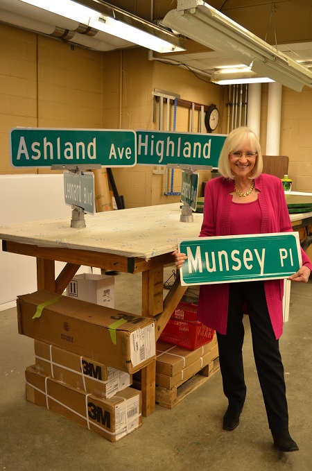
The Town of North Hempstead will be undertaking a Geographic Informational System (GIS) mapping project which will digitalize all Town and Village owned surface assets including street signs on 350 miles of Town roadways. Here, Supervisor Judi Bosworth looks over some street signs at the Town’s sign shop.